Myanmar Destination Guide
| NOTICE TO ALL TRAVELERS: Myanmar has suspended all commercial flights due to Covid-19 pandemic and instable political situations. Please contact your country's representatives in your embassy in Yangon, for latest information. |
Once the golden land Suvanabhummi, and later the forgotten land. Myanmar now is opened up to the world again under the leadership of Daw Aung San Suu Kyi, as one of the youngest democratic states in the world. Myanmar fights for and supports for human rights, while illegal migration and terrorist problems has to be under control at the same time. Ethnic minority tribes are often under attack by terrorists immigrants.
Myanmar Travel Guide
with Traveller Ratings & Reviews
Explore Myanmar States by State
We have 590 guests and no members online
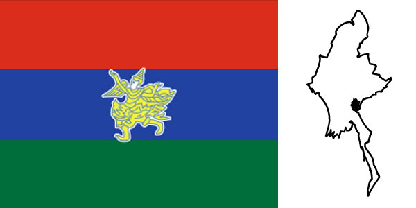
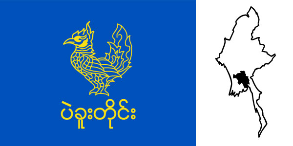
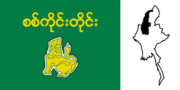
Kayah State
info Mateku Falls and Lawpita Falls on Balu Chaung are scenic beauties of Kayah State. which has a generally hilly topography. It is located between 18o 29'N and 19o 58'N latitudes. 96o 50'E and 97o 52'E longitudes. bordering Thailand on the east. Shan State on the north. and Karen State on the west and south. Kayah State
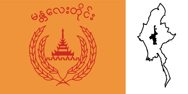
Yangon Region
Yangon Region
Yangon Region (ရန်ကုန်တိုင်းဒေသကြီး) has the main port Yangon. The City lies where 16o 19'N latitude intersects 96o 52'E longitude. Yangon Region is located at the eastern extremity of the Ayeyarwaddy Delta area with Andaman Sea on the south-east, Bago Region on the north and Ayeyarwaddy Region on the west.
Yangon Region (ရန်ကုန်တိုင်းဒေသကြီး) has the main port Yangon. The City lies where 16o 19'N latitude intersects 96o 52'E longitude. Yangon Region is located at the eastern extremity of the Ayeyarwaddy Delta area with Andaman Sea on the south-east, Bago Region on the north and Ayeyarwaddy Region on the west.
Ayeyarwaddy Region

Top 10 Tourist Attractions in Myanmar
Here are top 10 tourist Attractions in Myanmar, although this may vary due to different presenters.
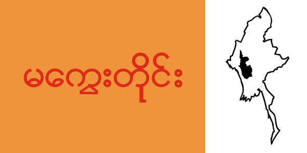
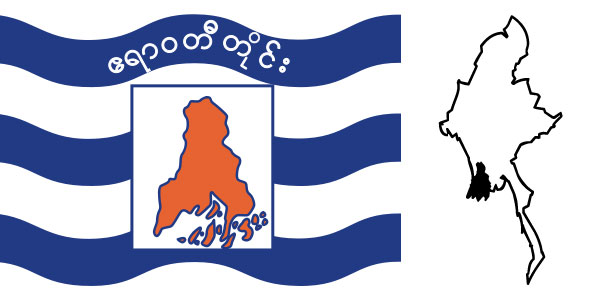
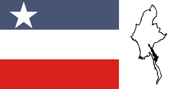
Tanintharyi Region
Tanintharyi Region
info Tanintharyi Region lies at the southern end of Myanmar. The Region has common borders with Thailand on the east and south-east. Mon State on the north. and Andaman Sea on the west. The area of the Region is 16.735 square miles. Out of about 1.000 islands along Myanmar's coastline over 800 are in Tanintharyi coast.
info Tanintharyi Region lies at the southern end of Myanmar. The Region has common borders with Thailand on the east and south-east. Mon State on the north. and Andaman Sea on the west. The area of the Region is 16.735 square miles. Out of about 1.000 islands along Myanmar's coastline over 800 are in Tanintharyi coast.
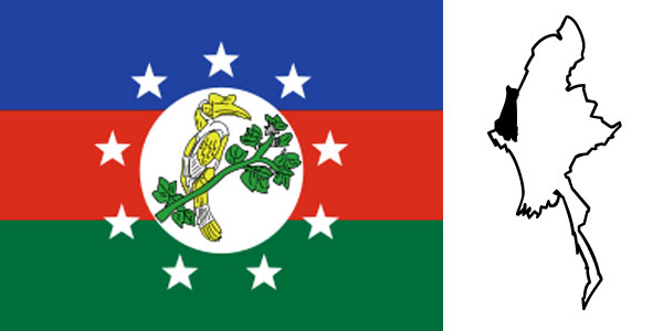
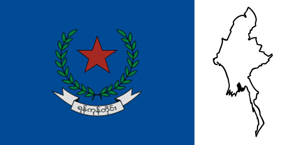
Rakhine State
info Rakhine State is located between 17o 21'N and 21o 24 'N latitudes and 92o 10 'E and 94o 54 'E longitudes bordering Bangladesh on the north-west. Chin State on the north. Magway Division. Bago Division and Ayeyarwaddy Division on the east and the Bay of Bengal on the west and south. Rakhine State

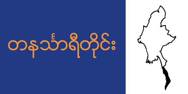
Naypyitaw
Read More..
info Naypyitaw is the administrative capital of the Republic of the Union of Myanmar. Centrally lovated. it is 391 km from Yangon and 302 km from Mandalay. being easily accessible from all parts of the country.
info Naypyitaw is the administrative capital of the Republic of the Union of Myanmar. Centrally lovated. it is 391 km from Yangon and 302 km from Mandalay. being easily accessible from all parts of the country.
Shan State
info Shan State is located in the Middle Eastern part of Myanmar between 19o 17'N and 24o 13'N latitudes and 96o 10'E and 101o 11'E longitudes. It is bounded on the northeast by the People's Republic of China. on the southeast and south by Laos and Thailand. on the north by Kachin State. Sagaing and Karen State on the south.
Sagaing Region
info Sagaing Region is situated in the north-west of Myanmar between Chin State on the west. Kachin State on the north-east. Shan State on the east and Magway Region and Mandalay Region on the south. With an area of 36.535 square miles. Sagaing Region is the largest among all Region. The Capital of Sagaing Region is Sagaing.
Kayin State
info Kayin State lies between 15o 12'N and 19o 28'N latitudes and 96o 23'E and 98o 56'E longitudes on the east of Myanmar. It has common borders with Mandalay Division and Shan State on the north. Kayah State and Thailand on the east. Mon State and Bago Division on the west. Its area is 11.731 square miles.
